
When I’m overwhelmed in life, my favorite thing to do is get out on a bike and pedal until my body is as fatigued as my heart and mind.
It’s then and only then that I tend to gain some clarity and heal from whatever may be ailing me at the time.
The year 2026 has brought a cacophonous cavalcade of craziness: a heavy workload here, a surprise thrown in for good measure, and some life stuff have all combined to form a pretty heavy burden that has felt like it has weighed me down for some time.
So this past week I resolved to ride it out on Saturday and take out some aggression on a series of hills. I took some time to devise a route in Ride With GPS, email our local cycling group distribution list, and then watch and wait as responses come.
This was the route I came up with: a meandering ramble over several large hills and across mixed terrain of gravel and pavement for a day that would bring me front and center with nature, and in at least one area, to a very high heart rate.
I baked in seven climbs ranging from 200 feet to somewhere in the neighborhood of 700, with the goal of ascending about 5,000 feet. And I wanted to do it on my Priority Gemini bike, which I’ve outfitted with a pair of GravelKing knobbies.
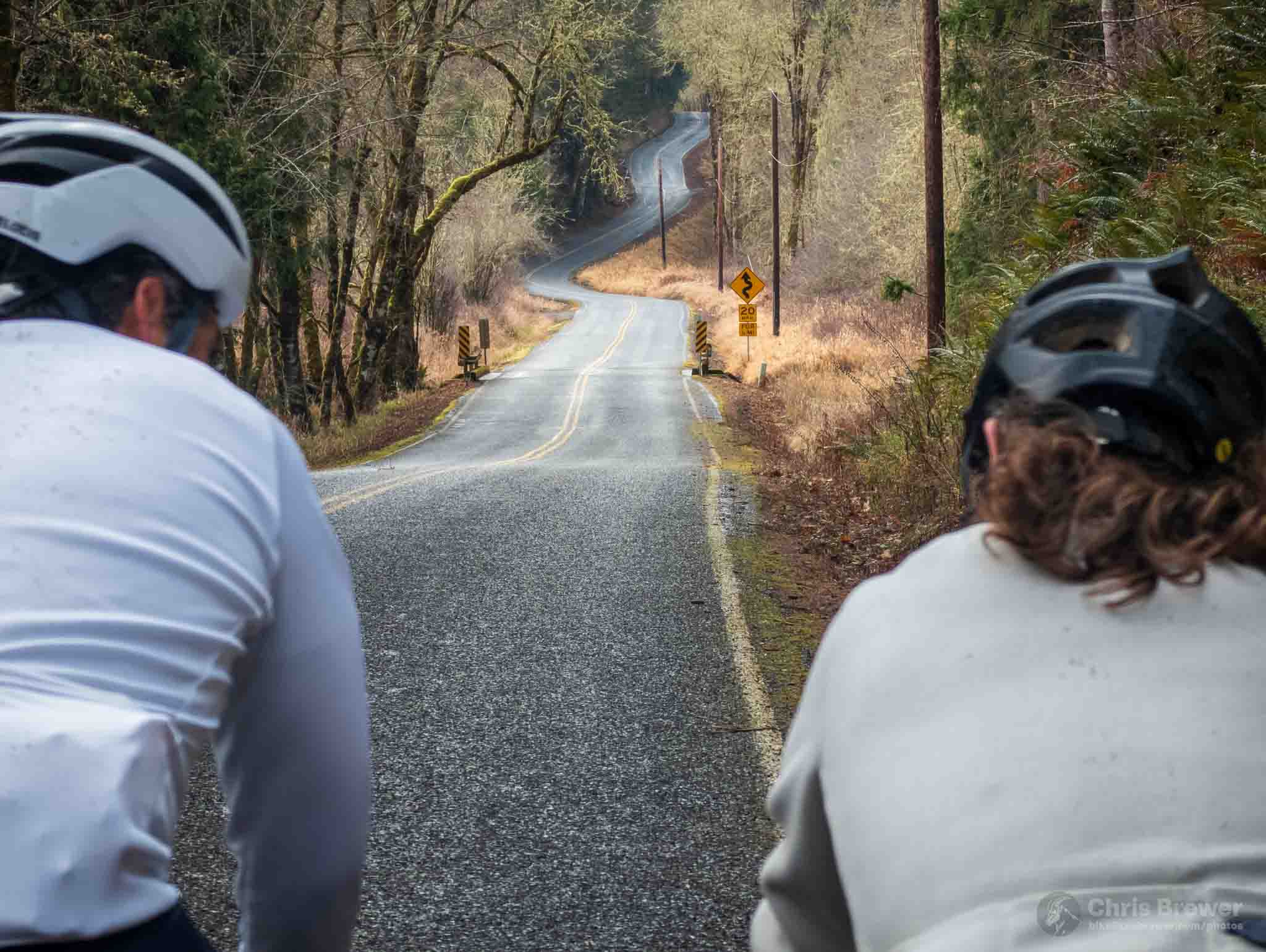
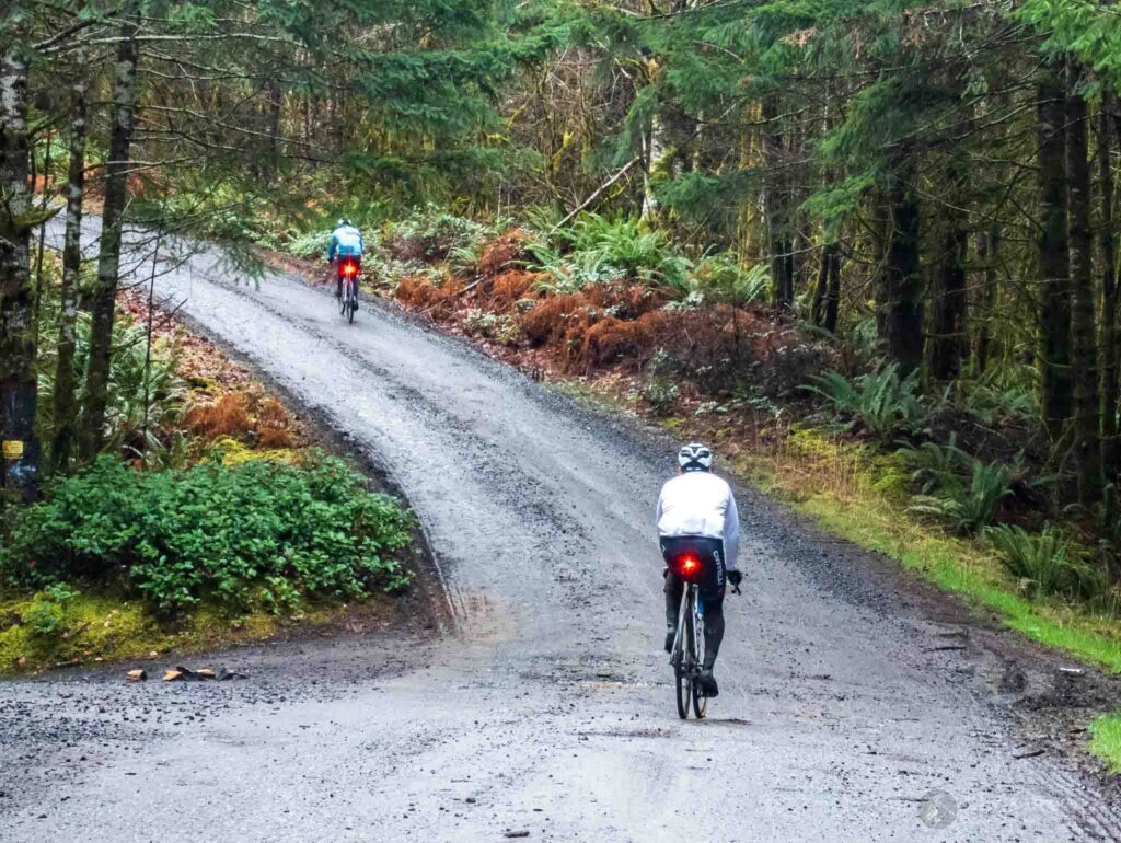
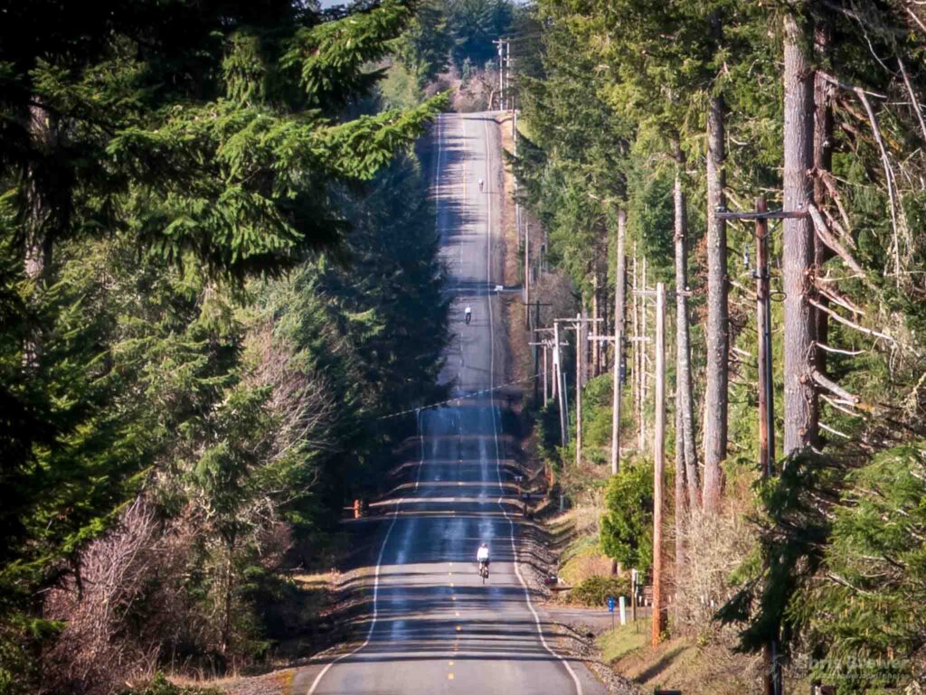
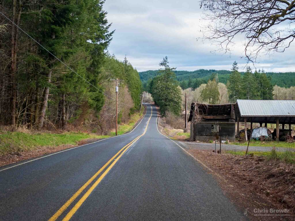
Off we went…and up we went. We gathered in Centralia, rode out to Galvin, and then instantly began to climb. First it was River Heights, then the back hills of Adna for a bit on a mix of gravel and pave.
After the first couple of climbs, it was apparent that the rain that had beset us earlier in the morning was not going to stick around. The sun even came out and teased us for a bit, and I was thankful for that. I feel like I can ride in any weather, but my glasses say a hard no to any rain as any sort of amount of water just distorts my field of vision.
And no, I ain’t gettin’ contacts.
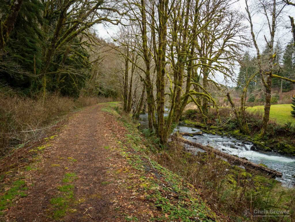
Once our second set of climbs were out of the way, we bombed down Meskill and hit the intersection with the Willapa Hills Trail. Believe it or not, we had already been riding for two hours as the route was front-loaded with hills, and two of the guys had to leave already to make it home by 2 p.m.
They all ended up going, but not before we took a photo together for posterity’s sake.
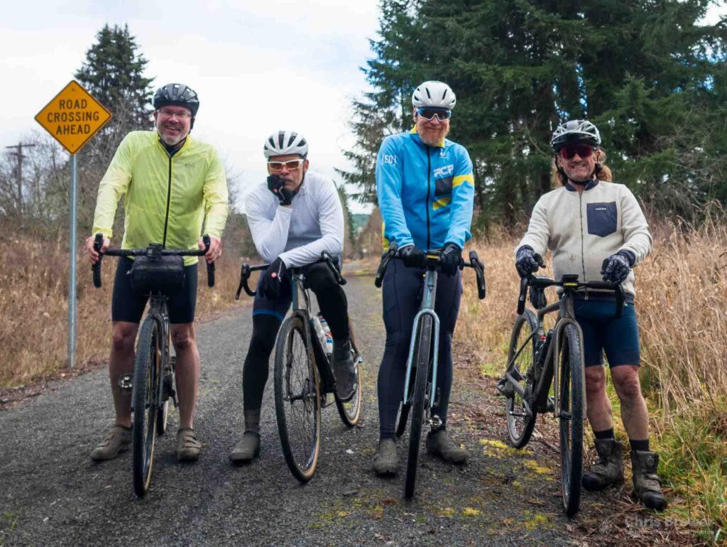
We parted company at about the 28-mile mark of the ride, and they had a tailwind to take them home. Me, on the other hand, had a lot of thoughts to sift through as I mashed westward into a headwind on the Willapa Hills Trail. It wasn’t fun initially, but once I got into a groove at about 13 mph through pea gravel, I was fine.
My route had me taking the trail from mile 12 at Meskill to mile 35 at Frances, then turning around and hitting the climb on Pe Ell McDonald. It was going to be a long yet scenic day.
I started thinking about some music as I went along. Oftentimes, I’ll replay entire songs in my head during long rides to help pass the time, and it’s advantageous for two reasons: (1) I can imagine different instruments in place of ones that exist on a recording I’ve heard, and (2) I can replay certain portions of songs in my mind without having to physically press a button. It’s great fun and it helps the miles melt away.
I’ve been listening to a lot of Classixx lately, and I had their song “Borderline” in my head for about 15 minutes:
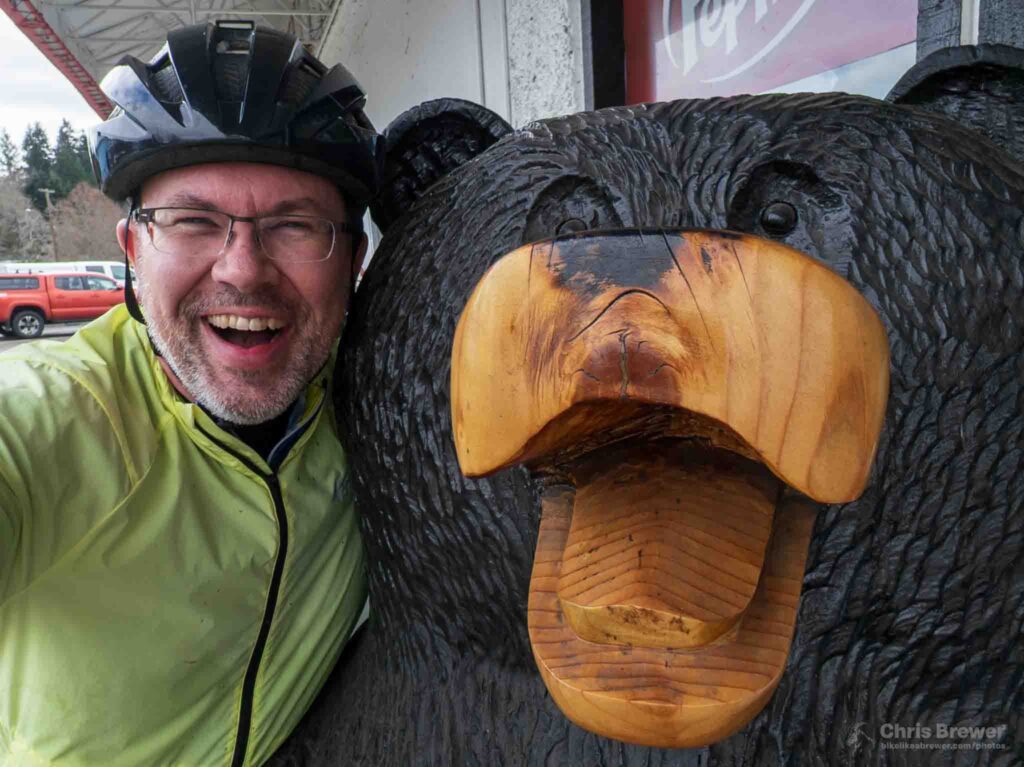
I got into Pe Ell before long, marking about the 38-mile mark of my journey. There was still a lot to go, so I dropped in at the Pe Ell Country Market and asked a friend to guard my bike while inside. Then I got a photo with him afterward:
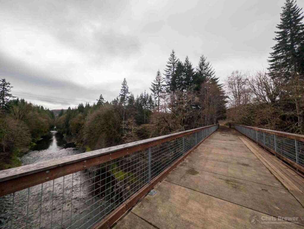
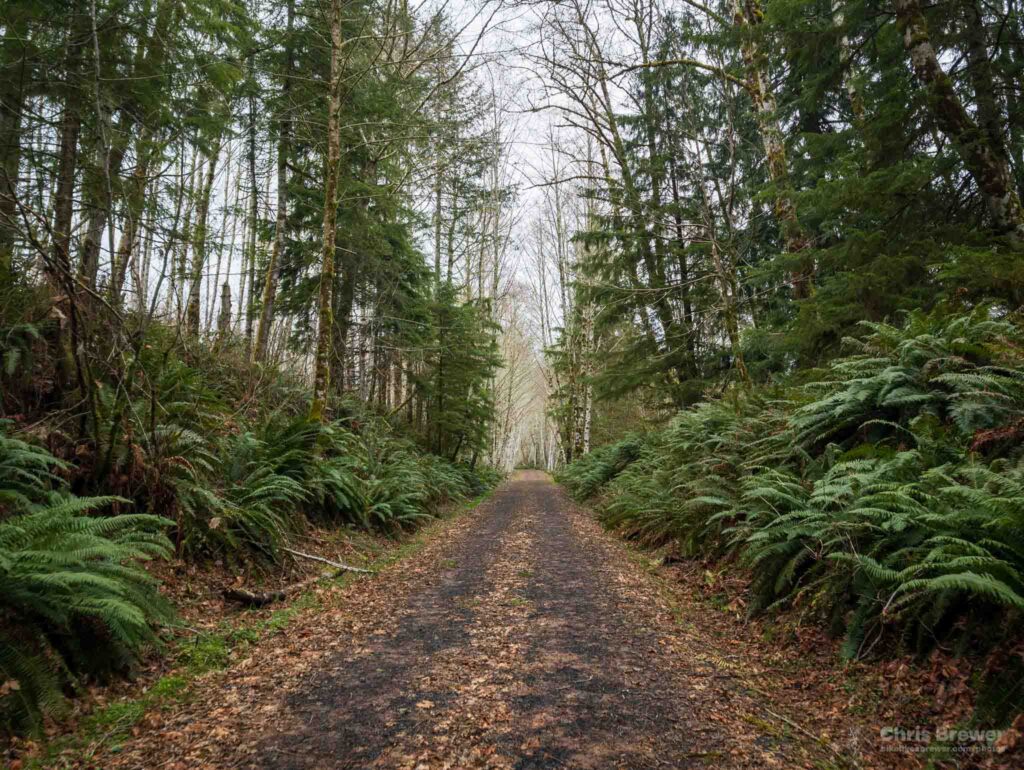
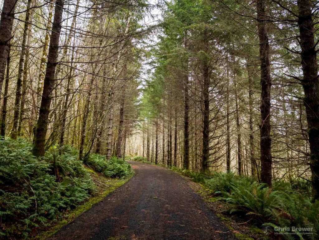
Once you go west of Pe Ell, the Willapa Hills Trail begins to get a bit more remote. It’s one of the prettiest sections of trail in the state, and the gateway to it is the High Bridge over the Chehalis River just a mile west of town. Every time I ride this section, I have to stop and take in the scenery.
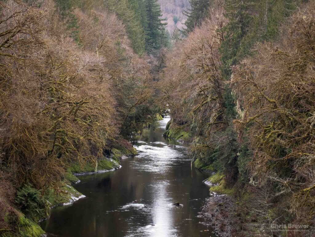
The trail bids adieu to the Chehalis River and begins to run concurrently with Rock Creek for the next few miles as you begin to climb. Rock Creek gave a babbling hello to me as I passed by and grabbed a quick photo at the 40-mile mark of the ride.
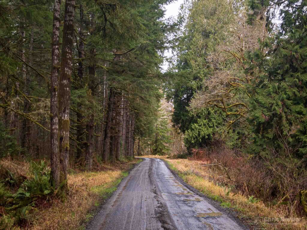
I began to climb up the steady ascent up the trail as it adjoined both Rock Creek and State Route 6, making my way upward as stands of forest greeted me. This is what I came here for, and even though my legs were starting to feel just a little tired as I was out of sync a bit for such an early season ride, the scenery more than helped sustain my mind.
By this time, I was feeling pretty thankful that I was out here, and I said a quick prayer of appreciation as I turned to sorting out a few of the troubles I’ve gone through these past couple of months. It all tends to melt away especially when you realize you’re the only one on the trail, so you can talk to God out loud without having to worry about anyone hearing.
I did just that, and I couldn’t imagine a better sanctuary in which to pray than the one I was riding through.
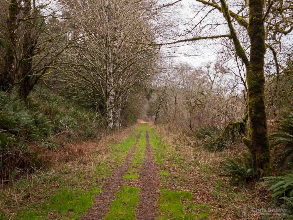
Before long I had reached the summit of Pluvius, a small little spot that once had a turntable for steam engines along the rail line that is now a trail. It was here in 1954 that a group met the final mixed passenger train on the South Bend Branch and bade it farewell; and it’s here now that State Parks has overlaid new gravel for a new set of passengers, self-propelled or on horseback.
A new generation is here to make this once-bustling train corridor a transportation link of a new type, and I am honored to be part of it especially on this day.
From here, the trail diverged from State Route 6 and entered a thick stand of forest, and I descended it as I shot footage on my GoPro Hero camera attached to my handlebars. It is this section of the trail that is absolutely exhilarating to ride, and if you know the turns well and pay good attention, it’s really easy to hit 20+ mph on this stretch.
Here’s an earlier video of me hitting the descent hard, before the new gravel went in:
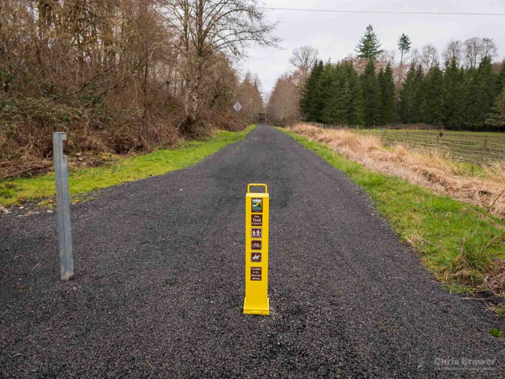
That entire stretch I captured on video has been overlaid with glorious new gravel that opens this section of trail up to anyone and everyone who felt it was too difficult to ride before due to the unimproved terrain. I’m more than happy to be an evangelist of sorts for the trail, and part of the reason I’m sharing about this ride is to be just that.
Get out on the Willapa Hills Trail, especially from Pe Ell, and go ride down to Frances and back. You’ll be glad you did, and you’ll get a nice little climb and descent through the Coast Range both directions.
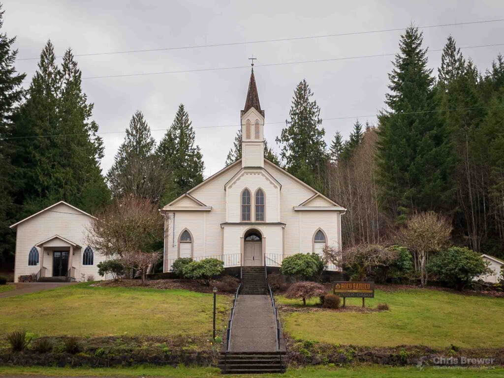
On this day though, once I hit Frances on my ride, it was time to turn back. Oftentimes I’ll say a prayer for the folks of Holy Family Catholic Church, which has been a major center for the community out here for years. Holy Family has seen the logging heyday come and go, and now it primarily sees folks traveling to and from the coast, as well as the occasional crazy cyclist.
For our neighbors and friends in the faith in east Pacific County, we pray.
It was here I had hit 51 miles, and my journey was just about halfway over. I realized I would need to stop for food on the way back, and as such I would make the command decision to curtail my journey from 112 miles to 102 since I would not make it back before sundown.
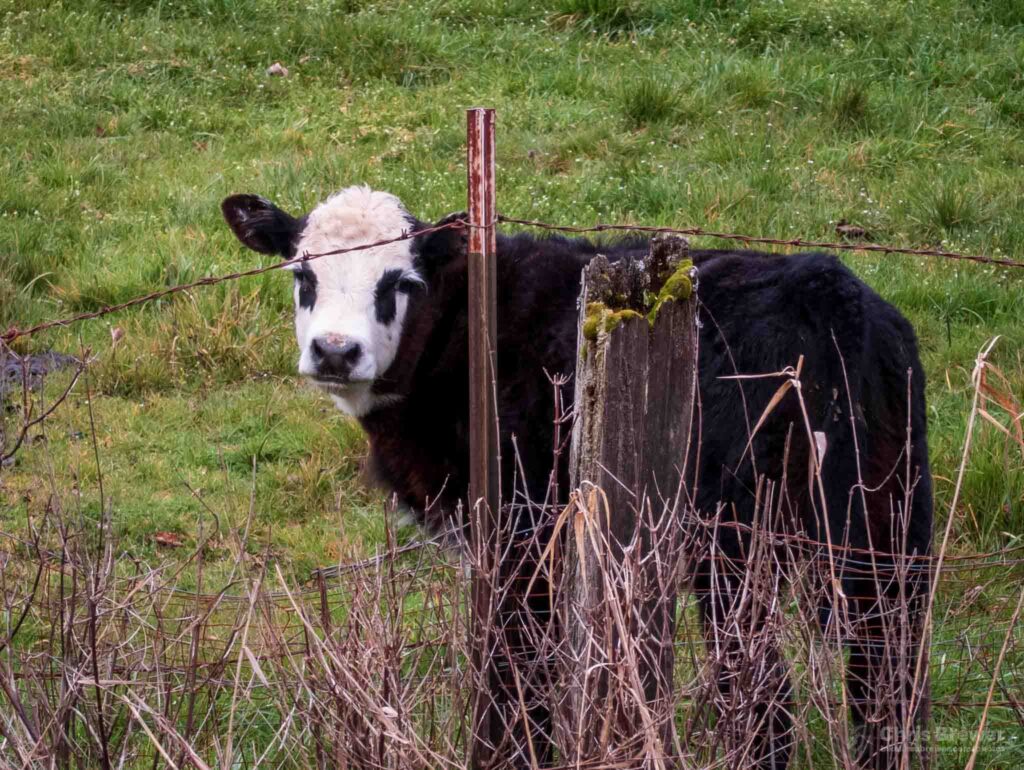
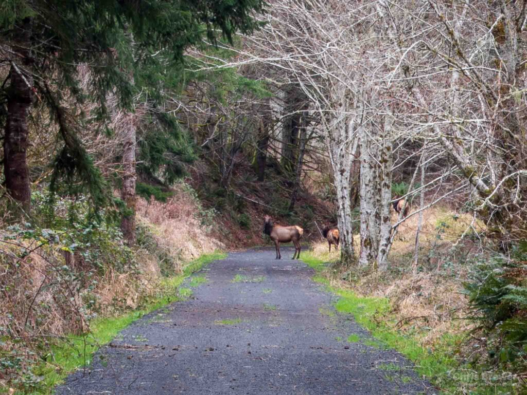
The journey back was even more beautiful than the journey over, primarily because of my pacing and me stopping a couple times to take a few photos.
How could I not enjoy this scenery even if it felt like I was losing my climbing legs a bit?
If the sheer amount of photos I’m uploading to this post is a metaphor for anything, let it be that over the duration of this journey I stopped focusing inward on whatever troubles had plagued me and concentrated on the world at large. Praying for others has a way of healing the one doing the praying, and I did that as I descended the other side of Pluvius down to Pe Ell.
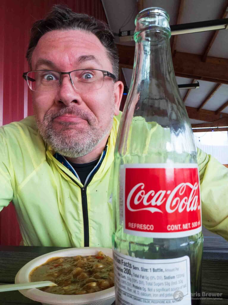
Before long, it was time to get some food in Pe Ell, and I did just that with a pretzel, poblano chowder and Coca-Cola in a bottle at Jones Creek Brewing just outside of Pe Ell. The trip to the brewery added three miles round trip to my total and I was not complaining. I had logged 68 miles and only had 32 to go to hit my coveted century mark.
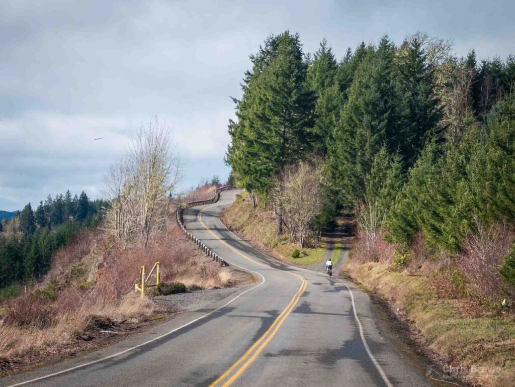
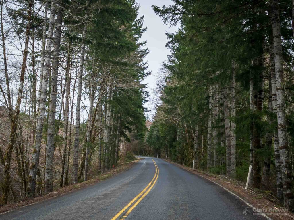
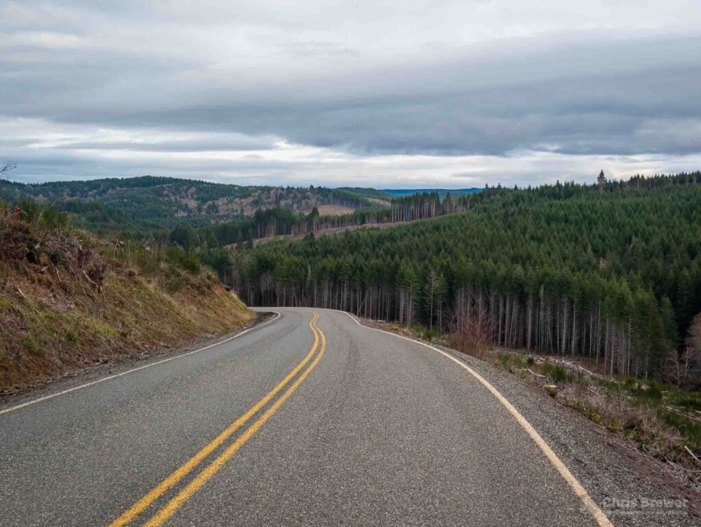
After 45 minutes off the bike, it was time to hop back on and head for the hills. I had a couple significant ones just outside of Pe Ell as I took both Pe Ell McDonald Road and Lost Valley. Having finally freed myself from most of the wooded areas except for a few stands here and there, I felt the power of the tailwind ushering me home faster than I had arrived from the east earlier.
Pe Ell McDonald and Lost Valley are seriously underrated routes for cyclists. They climb a good amount, open up to some wonderful scenery, and have a feeling of being far away from the populace of Lewis County although you’re not more than 20 miles away from Chehalis.
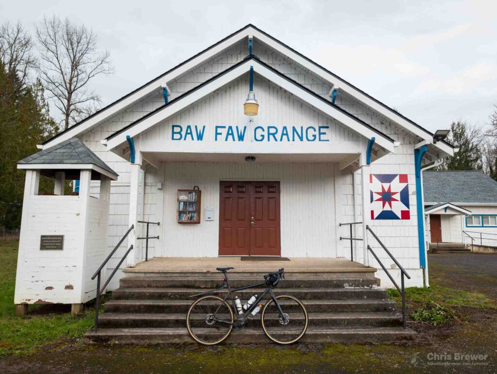
By the time I had reached Boistfort and pointed my bike back north again, I had hit the 83-mile mark. It would not be too long until I was back in Centralia.
I propped my bike up for a photo at the Baw Faw Grange and stopped for a second to enjoy the peaceful sounds of birds flying around the fields and trees nearby. I noticed there are a ton more birds making their way back here as spring approaches, and I just love hearing their varied calls and songs.
The rest of the trip was somewhat of a blur as I caught massive help from an even bigger tailwind, pushing me from 14.5 mph to 18-20 on Boistfort Road going north. It started to get a bit dark as I hit Ceres Hill Road and ended up back on the Willapa Hills Trail heading east.
This was where my command decision earlier to cut my route from 112 to 102 was set in motion. Instead of turning right at King Road and heading southeast toward Winlock, I headed north and then east. I still wanted 5,000 feet of elevation gain by the end of the day, so I climbed some smaller hills in Adna on my way back and even got to wave to a local resident or two.
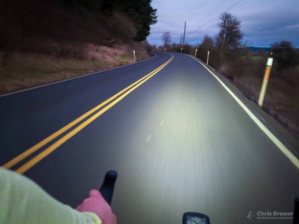
Before I knew it, I was back in Centralia and not a moment too soon, as darkness fell super quickly. Thankful for high-vis gear and a good light system on my bike to ensure I could be seen by drivers in the most populous city in Lewis County.
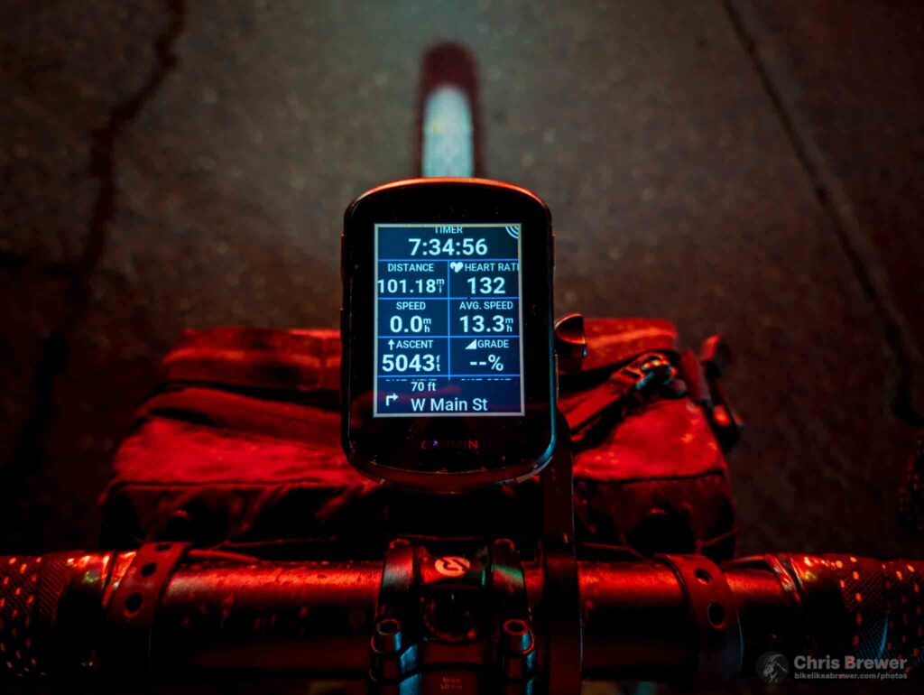
I was home after 102 miles and 5,000 feet of climbing. Total moving time was somewhere around 7 hours 30 minutes, and the journey was worth every second. From roads to trails, from hills to valleys, every inch of ground I covered that day was instrumental in helping my heart and mind find a peace I so desperately needed.
Big thanks to those who joined me for the ride, both in person and in spirit.
Footnotes:
- Here is a YouTube Music playlist of songs I played in my mind during the ride.
- Need a map of the Willapa Hills Trail? Here you go.
- The final stats of my ride are available here.
- Here’s why Coca-Cola in glass bottles is better than cans.
Song of the Day:
Grace Jones’ “Don’t Cry, It’s Only the Rhythm” is a sonic treat. Do not adjust your headphones. Just listen.
Leave a Reply